An El Niño event has officially developed in the equatorial Pacific and is forecast to intensify into a "super El Niño," with the potential to become the strongest event on record since 1950 when it peaks between November and December, according to the Hong Kong Observatory (HKO).
In its latest weather blog, the forecaster noted that the sea surface temperature anomaly in the key monitoring region of the equatorial Pacific has climbed sharply since April, reaching positive 2.5 degrees in August.
Over the past five months, the cumulative sea surface temperature anomaly has exceeded positive 4.0 degrees Celsius, confirming that an El Niño event is fully established.
The intensity of El Niño is expected to peak between November and December, when sea surface temperature anomalies in the region may exceed positive 3.5 degrees, potentially setting a new record as the strongest El Niño event since records began in 1950.
The Observatory also projected that the El Niño event will persist at least through the spring of 2027, even as ocean temperatures in key monitoring zones begin a gradual decline early next year.
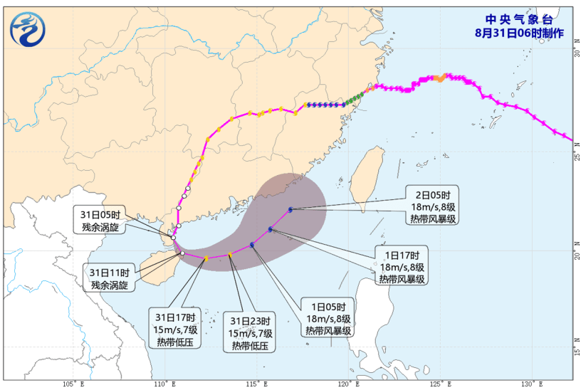
Additionally, the forecaster highlighted extreme weather activity in the region, noting that 13 tropical cyclones occurred across the western North Pacific and the South China Sea in August, with 12 forming within the month alone—breaking the single-month record since 1961.